Google Maps is one of the most widely used map systems in the world, being very accurate and easy to use.
On Tuesday, Google announced - through a post on Google+ - the launch of a new update, awaited by many people. Although it can currently only be used as a desktop application, the update brings the ability to calculate the actual distance between two or more points on the map. Until now, the program offered the straight-line distance between two points, without taking into account the route that must be followed to get from point A to point B.
The benefits extend even to areas where there are roads or paths, such as forests or rural areas. Calculating distances in these areas allows for the organization of routes for those who want to hike in nature or take outdoor walks.
To calculate a distance, the following simple steps must be followed:
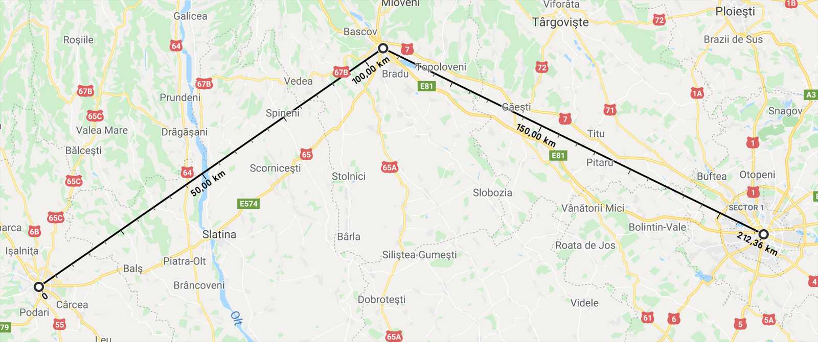
1. Right-click on the starting point on the Google Maps map, let's say point A.
2. Select "measure distance"
3. Click on the destination point (point B).
4. A route will be created whose length will be displayed.
5. If you want to calculate the distance between multiple points, select each point individually, as with the first two.
6. The total distance will be displayed in the upper left corner of the Google Maps menu.
Although the application is easy to use and has been very well received by the public, some complaints have also appeared. Thus, many are asking for a more intuitive version of the new Google Maps, meaning to include a button to access the new option, instead of the right-click method. In addition, the existence of this button would make the update much more visible and, therefore, easier to use.
These changes from Google are currently only valid for desktop, with plans to be introduced in mobile applications as well.